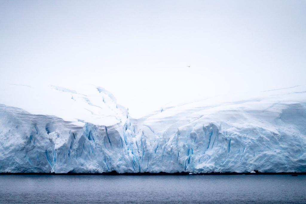
A new study says Thwaites Glacier sea-level rise could be roughly double what earlier models predicted, according to research published Monday in Nature Communications. The so-called Doomsday Glacier in West Antarctica could add up to thirty millimeters, give or take six, to global sea levels by the year twenty-one hundred.
That is about a little over an inch, which sounds small until you remember it comes from one glacier, and the study assumes no extra climate warming beyond what has already been observed. Here is what the team found and why it matters.
The hidden detail old models missed
Most ice-sheet models treat the spot where ice resting on the seabed turns into floating ice as a sharp line. Real life is messier. Satellite images show seawater creeping several kilometers under the grounded ice with every tide, according to the study in Nature Communications. That slushy stretch is called a grounding zone.
The team, led by Mattia Poinelli of UCLA and NASA's Jet Propulsion Laboratory, wrote that detail into a computer model and let the ocean melt the ice there. As Scienmag reports, this is a process most models have long ignored.
Why the Thwaites Glacier sea-level rise number jumped
When the researchers tried to recreate nearly three decades of real satellite observations, from retreat to thinning to speeding up, the model only matched when grounding zones were two to five kilometers wide. Without them, the simulations were four times less likely to reproduce the historical trend, the paper says.
Looking forward, the glacier is currently held in place by an underwater bump called Mouginot Ridge. The model shows that wider seawater intrusions make it far more likely the glacier slips off that ridge. In the most extreme runs, that unpinning could happen as early as twenty thirty-eight.
Once it lets go, the ice keeps retreating across a seafloor that slopes downward inland, heading toward the next ridge. The study reports no sign of any slowdown or natural braking through the end of the century in any of its simulations.
What the numbers actually say
With no grounding zone at all, the model gives about eight millimeters of sea-level rise from Thwaites by twenty-one hundred. With a one kilometer zone, it is roughly fourteen. At three kilometers it is about nineteen, and at five kilometers, the length matching recent satellite views, it reaches the thirty millimeter headline figure, per Nature Communications.
Just adding a grounding zone boosts projected sea-level rise by fifty-one percent compared with the old approach, and every extra kilometer shifts the result by about twenty-two percent on average. Warmer ocean water adds a further bump of around fifteen percent in the researchers' sensitivity test.
There is an important caveat. PakTribune notes that this is a computer model tested against observations, not a newly measured jump in the world's oceans, and it covers only Thwaites, not total global sea-level rise from every source.
The glacier already matters. It sheds a huge volume of ice into the Amundsen Sea each year, and its retreat has averaged around eight hundred meters a year along its fastest-flowing western section, which adds up to roughly twenty-five kilometers since nineteen ninety-six, according to the paper. That is the kind of speed that makes glaciologists pay attention.
The researchers are also upfront about the limits. Their model keeps the ice front fixed, leaves out calving, and uses a simplified description of ocean melting rather than a full ocean simulation. They also note that real grounding zones change length over time, so future work needs to capture that. Those gaps mean the final number could still move up or down.
The big picture for your generation
Thwaites is about the size of Florida, and the whole glacier holds enough ice to lift oceans by roughly sixty-five centimeters if it were to vanish completely, a figure cited in the paper's introduction. The new work does not say that is happening this century. It says the near-term slice of that risk may be bigger than scientists assumed.
The authors argue that grounding zones should be built into regional and continental ice-sheet models, and that scientists urgently need more on-site measurements near them to pin down how much heat reaches the ice. In plain terms, better data means fewer surprises for coastal cities.
For anyone in a coastal town, that is worth tracking. Sea-level projections feed into flood maps, insurance prices and city planning decades before the water arrives. Even a few extra millimeters from one glacier add up when you stack them on top of melting from Greenland and the rest of Antarctica. Keep an eye on our climate emergency coverage for more.
Comments 0
No comments yet. Be the first to share your thoughts!
Leave a comment
Share your thoughts. Your email will not be published.