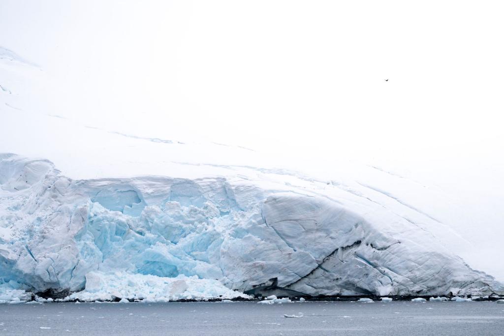
The vast Antarctic glacier nicknamed the Doomsday Glacier is melting faster than feared, according to new research reported by Phys.org. The study reconstructs how warm ocean water is flushing far beneath the ice in rhythm with the tides, and its revised forecast says the glacier could contribute roughly twice as much to global sea-level rise by 2100 as earlier models had projected.
The work comes from a team of glaciologists at UC Irvine and NASA's Jet Propulsion Laboratory, working with colleagues from several other universities. Their paper, published in the journal Nature Communications, rebuilds the computer model of the ice by replacing a single fixed boundary line with a wide, shifting zone. With that change, the simulation's match to more than twenty years of observations improved sharply, becoming four times more pronounced than traditional models in reconstructing how the glacier changed from the 1990s to the present.
The Tides Are Pumping Warm Water Under the Ice
For years, ice-sheet models treated the point where the glacier lifts off the seabed and starts floating as a narrow, stable boundary called the grounding line. Satellite radar readings have now shown that picture was wrong. The boundary is really a grounding zone that can stretch for several kilometers, and it moves with the tides. When the ice lifts, pressurized seawater surges underneath; when the tide falls, the ice settles back down. Researchers describe this flushing action as tidal pumping, and it carries relatively warm ocean water deep beneath the grounded ice, melting it from below in a way older simulations largely missed.
"We have come to acknowledge a different arrangement beneath Earth's major ocean-terminating glaciers," said lead author Mattia Poinelli, who conducted the research while a postdoctoral scholar in Earth system science. The data that made the revision possible came from synthetic aperture radar readings gathered by the Finnish ICEYE satellite constellation, which can detect kilometer-scale fluctuations along the glacier's main trunk that older satellite datasets could not resolve.
Thwaites is roughly the size of Florida and is the widest glacier on Earth. It currently accounts for about four percent of global sea-level rise. Researchers estimate it has shed more than one trillion tonnes of ice since 2000 and keeps losing around fifty billion tonnes a year. If it collapsed entirely, seas would ultimately rise by roughly sixty-five centimeters, and because the glacier acts as a plug holding back the broader West Antarctic ice sheet, the knock-on effects could be far larger.
What the Doubled Forecast Means for Coastlines
The headline number in the new study is about thirty millimeters, roughly an inch and a fifth, of sea-level rise contributed by the glacier alone by 2100. That projection holds even if the climate does not warm beyond its recent average, which is what makes it unsettling: some of the future rise is already baked in by damage done. Co-author Eric Rignot, a professor of Earth system science, said the results foresee a greater risk of coastal flooding in the coming decades than previously expected.
Coastal cities will feel the change first. Even small increases in baseline sea level make storm surges reach farther inland, and they turn floods that used to happen once a decade into events that arrive every few years. For a generation already watching its streets flood on sunny days, the revision is another signal that the ocean is not waiting for permission. As young climate activists keep telling leaders ahead of the UN summit, the timeline for adaptation keeps getting shorter.
There is also a competing view worth hearing. Ted Scambos, a senior research scientist at the University of Colorado Boulder who was not involved in the work, called the findings a possible real turning point for sea-level projections, but experts broadly agree that the environment beneath the ice remains hard to observe directly. A marine geophysicist at the British Antarctic Survey has noted there is much to learn about grounding-zone processes before predictions can be considered reliable. The team plans to deploy new instruments in 2028 to document seawater flowing in and out at the grounding line, and what those sensors find will test whether the model's doubling holds up.
So the forecast is sobering: the glacier is melting faster than feared, and the doubling is not a guess but a measured correction. The ocean has been reaching farther under the ice than anyone modeled, and the model finally caught up. For coastal neighborhoods, the takeaway is practical rather than abstract: flood maps drawn from older projections may already be out of date, and the most useful response is to plan for water that arrives earlier than expected. Rising seas have swallowed coastlines before, as archaeologists learned from Australia's drowned ancient world, so the only honest question is how fast this round moves.
Comments 0
No comments yet. Be the first to share your thoughts!
Leave a comment
Share your thoughts. Your email will not be published.