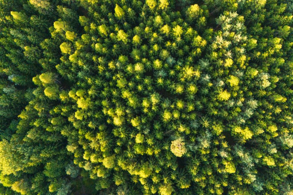
From a passenger window, the Peruvian Amazon looks like one unbroken sea of green. From a research aircraft, it looks like a patchwork. A new Nature Communications study argues the patchwork matters: the chemical signatures of treetops, readable from the air, line up with which bird communities are most likely to struggle as forests change. The Amazon canopy bird study gives conservationists a way to spot vulnerable wildlife without waiting for years of ground surveys.
The team behind the work flies the Global Airborne Observatory, a research plane run by Arizona State University's Center for Global Discovery and Conservation Science. Aboard, an imaging spectrometer reads the light reflected by leaves, including wavelengths the human eye cannot see, while a laser scanner maps the height and shape of the canopy. Different leaf chemistry bounces light back differently, so every stretch of forest leaves its own signature, according to the researchers.
Reading the forest's chemical fingerprints
An earlier campaign by the same observatory mapped seven leaf traits across Peru: nitrogen, phosphorus, calcium, water content, two plant defense chemicals called polyphenols, and leaf mass per area. Each point on the map covers roughly one hectare. The researchers grouped the measurements into 36 fine-grained classes, then clustered those into six broad forest types, ranging from lowland swamps to mountain slopes. Similar aerial mapping work has tracked tree health from California's giant redwoods, where heat stress is already slowing growth, to Scotland, where six million trees in a woodland expansion were mapped.
The idea builds on a much larger 2017 effort, when Asner's team used the same laser-guided spectroscopy to map canopy chemistry across 72 million hectares of the Peruvian Andes and Amazon basin. That earlier work, published in Science, showed that forest chemistry tracks geology, topography, water, and climate, and suggested that as much as half of each functionally distinct forest could be a target for new conservation action. The new study takes that map off the shelf and asks what it means for the animals living underneath it.
From leaves to birds
For the new analysis, George Olah, a research fellow at the Australian National University, paired those canopy maps with the ranges and life histories of more than 1,300 forest-dependent bird species in Peru. He and his coauthors checked how much of each species' range fell inside each of the six forest types, then compared that with body size, clutch size, feeding habits, conservation status, and population trends, as reported by Earth.com.
"By linking newer high-tech maps of the chemical and functional traits of the forest canopy to avian ecology, we demonstrated that the composition of the trees exerts a big influence on the life-history strategies and vulnerabilities of the bird communities living there," Olah said. Peru is a natural laboratory for the question: the country holds roughly 18 percent of the world's bird species, and forests cover more than 60 percent of its land, according to Earth.com.
"By combining advanced airborne imaging spectroscopy with ecological data, we aren't just mapping where the trees are; we are mapping the diversity and composition of the canopy itself and how the ecosystem functions," said senior author Greg Asner, who directs the ASU center. "This approach provides a scalable way to identify distinct conservation risk areas across previously undocumented forest types, providing explanatory power far beyond traditional forest cover maps."
The practical payoff is speed and reach. As deforestation, climate change, and land-use pressure redraw the Amazon, the method could help land managers anticipate ecological change and direct protection toward the forest types whose bird communities are most at risk. Forests that look identical on a conventional map can harbor very different wildlife, and the difference is written in their leaves.
The Amazon canopy bird study is not limited to Peru in spirit. The same airborne methods already map forests elsewhere, and the study's authors say functional maps like these could flag conservation priorities across tropical regions that have never been surveyed from the ground. For the birds, the message is that their futures may be readable long before anyone sets foot under the trees.
Comments 0
No comments yet. Be the first to share your thoughts!
Leave a comment
Share your thoughts. Your email will not be published.