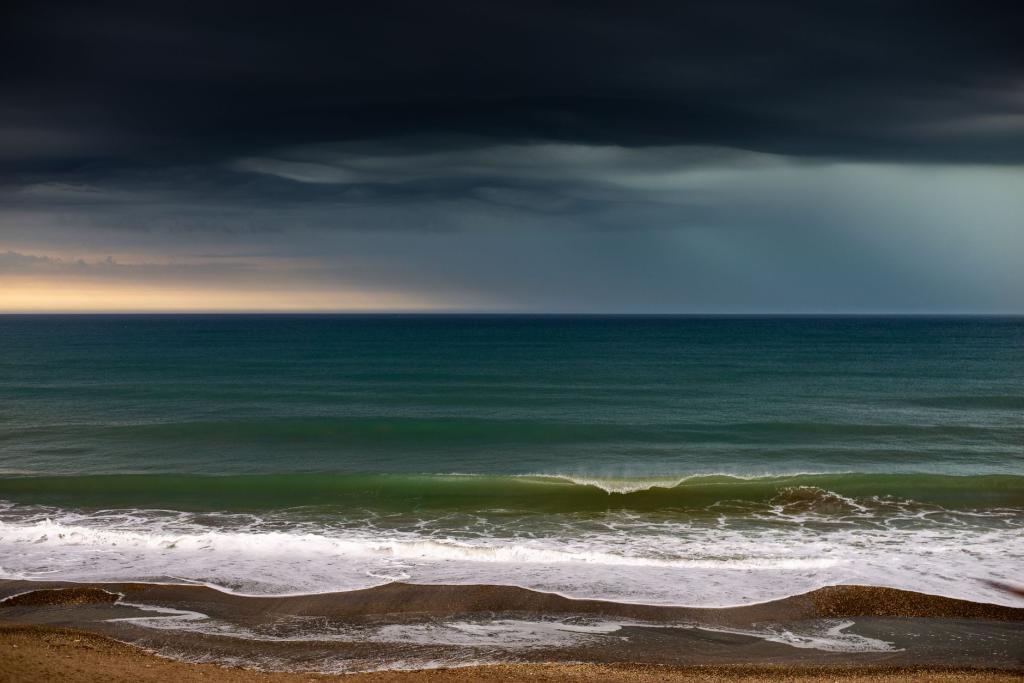
Zero hurricanes have formed in the Atlantic so far this year, something that has never happened in the modern era of satellite storm tracking. Eight named storms have spun up since the season opened in June, but every single one fizzled before it could reach hurricane strength. The culprit, scientists say, is an unusually powerful El Niño that is flooding the upper atmosphere above the Atlantic with turbulence, tearing young storms apart before they can organize.
The near-misses tell the story. Tropical Storm Fay peaked at 70 miles per hour, just short of the 74-mile-per-hour line that defines a hurricane — the strongest any storm managed all season, according to the National Hurricane Center's season data. The eighth and most recent named storm, Hanna, drifted far out in the Atlantic, roughly 870 miles east-northeast of Bermuda, with winds of 45 miles per hour and was expected to stay weak. The season's total accumulated cyclone energy — a measure of all the energy storms produce over their lifetimes — sits near ten units, a modern record low reported by Central Florida Public Media.
Zero Hurricanes and Counting: A Season Unlike Any in the Satellite Era
No Atlantic season since satellites began watching in 1966 has gone this deep into the year without a hurricane. The only two hurricane-free seasons in the historical record — 1907 and 1914 — both happened before satellites, when storms far from shore could pass unnoticed. The latest any season has ever produced its first hurricane is a mark set in 1905, and that record is now within days of falling. Last month became only the third September since the Second World War without an Atlantic hurricane, joining 1994 and 1962. It has been more than 330 days since the last Atlantic hurricane, Melissa, in October 2025.
An Unusually Strong El Niño Is Doing the Shredding
The chain reaction starts thousands of miles away. El Niño is warming the eastern tropical Pacific, with ocean temperatures running nearly three degrees Celsius above average off South America — one of the strongest such episodes ever recorded. NOAA's Climate Prediction Center gives a 98 percent chance the El Niño stays very strong through December. That warmth strengthens high-altitude winds over the Atlantic, creating vertical wind shear: winds that change speed and direction with height. A tropical cyclone needs a tidy vertical stack to intensify, with its warm core sitting directly above the surface circulation. Shear tilts the stack, lets dry air ventilate the core, and pulls the storm apart faster than it can organize, as a plain-language science explainer describes it. Stable air and Saharan dust have helped suppress development too.
Forecasters saw the quiet season coming. In its August update, the agency raised the odds of a below-normal season to 75 percent, calling for between seven and thirteen named storms but as few as two hurricanes. Its lead seasonal forecaster said that once El Niño emerges it "usually becomes the dominant factor" in how busy a season gets. AccuWeather went further: its experts were "the first known source" to publicly float the possibility of the season producing no hurricanes at all, according to The Florida Press.
How 2026 Stacks Up Against a Normal Season
In an average year between 1991 and 2020, the Atlantic produced fourteen named storms, seven hurricanes and three major hurricanes, with a total energy score of 122. By the end of September, a typical season has already delivered about five hurricanes. Contrast that with 2005, the busiest season on record, when fifteen hurricanes formed and the basin set records for the strongest storms. The eastern Pacific, meanwhile, has been the mirror image this year: supercharged by the same El Niño, it has already tied the record for the most top-tier hurricanes in a single season.
Why October Still Matters
The season's timeline shows how thoroughly the pattern has held. Arthur opened the season in June; Bertha and Cristobal followed in July; Dolly and Edouard — which came ashore near the Texas-Louisiana border — arrived in August; Fay and Gonzalo spun up in September; and Hanna became the eighth named storm late in the month. The climatological peak, which usually falls in early September, passed without a single hurricane. October typically adds another hurricane or two, and late-season storms tend to form in the western Caribbean and the Gulf, where the next names on the list — Isaias, Josephine and Kyle — are waiting.
Forecasters are watching a patch of low pressure that models suggest could try to organize in the southwestern Gulf in the coming days, though development odds are low and confidence is limited after a season in which models have repeatedly overcooked tropical development. One meteorologist's Gulf outlook put the chances near twenty to thirty percent. And there is a final asterisk on the record itself: the federal hurricane center will reanalyze the season after it ends, and Fay's peak winds could yet be upgraded to hurricane strength on review — which would erase the Zero Hurricanes distinction.
The quiet season is no excuse to relax, forecasters stress. Inland rainfall does most of the damage from tropical systems, and storms like Arthur and Edouard still made landfall this year even without reaching hurricane strength. As one national weather service director put it, residents should prepare for every storm headed their way, "even if it never reaches hurricane strength." The season officially runs through the end of November — and the record books stay open until then.
For now, the Atlantic remains stuck at zero — a statistic that would have sounded impossible a decade ago, and a reminder that the climate system can still surprise the people paid to predict it. This story sits in our Climate Emergency coverage; read also our earlier report on the record-tying El Niño driving this strange season.
Comments 0
No comments yet. Be the first to share your thoughts!
Leave a comment
Share your thoughts. Your email will not be published.