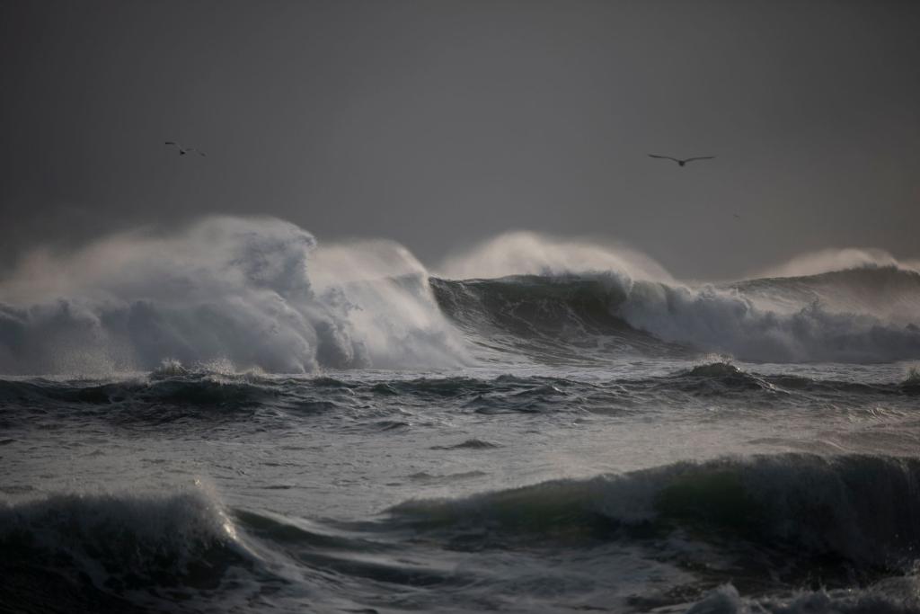
Hurricane Trudy is closing in on Mexico's Pacific coast tonight, and forecasters say the real danger is water, not wind. According to the National Hurricane Center, Trudy has maximum sustained winds near one hundred miles per hour and will pass near the coast of west-central Mexico tonight and Sunday.
Here is what you need to know about Hurricane Trudy, who is in its path, and why a storm that dropped in strength earlier can still be dangerous.
Where Trudy is right now
As of six in the evening local time Saturday, the center sat about one hundred miles southwest of Manzanillo and about one hundred seventy-five miles south of Cabo Corrientes, the hurricane center said. It was moving northwest at around ten miles per hour. The minimum central pressure was nine hundred seventy-six millibars.
The storm strengthened back to a Category 2 hurricane on Saturday, according to the Associated Press. It had earlier reached Category 3 before slipping to Category 1, so the track has been a rollercoaster. Forecasters say some more strengthening is possible tonight, with weakening expected to begin late Sunday or Sunday night.
Warnings along the coast
A hurricane warning is in effect for the coast from Manzanillo north to Cabo Corrientes, covering parts of Colima and Jalisco. A hurricane watch covers the stretch south of Manzanillo to Punta San Telmo. Tropical storm warnings also cover areas near Lázaro Cárdenas, the coast from north of Cabo Corrientes to San Blas, and the Islas Marías.
Hurricane-force winds reach out up to thirty-five miles from the center, while tropical-storm-force winds extend up to one hundred forty miles. That is a wide area for a storm hugging the shoreline, which is why even towns not directly under the warning could feel it.
Flooding is the big threat
The hurricane center expects four to eight inches of rain, with isolated totals around twelve inches, along the coast of Michoacán, Colima and Jalisco. That kind of rain on steep terrain can trigger life-threatening floods and mudslides. Outer bands could bring two to four inches to Guerrero and Nayarit.
Forecasters also warn of dangerous storm surge with damaging waves where winds blow onshore. Swells are already hitting parts of southwestern Mexico and will spread north, creating life-threatening surf and rip currents. If you are travelling to beach towns this weekend, follow local civil protection guidance.
Why a weaker storm still matters
A drop in category does not mean the threat is gone. A slow-moving storm that crawls along the shoreline can dump huge amounts of rain and push water inland for hours. Wind speed is only one part of the story, and Hurricane Trudy shows how water becomes the main hazard.
What residents and travelers should do
Authorities in Mexico urge people in the warning zone to follow instructions from Protección Civil, the national civil protection service. That usually means staying away from rivers, arroyos and steep hillsides, securing loose objects, and moving to higher ground if flooding starts. Preparations to protect life and property should be rushed to completion, the hurricane center said.
Tourists in resort towns along the Jalisco and Colima coast should check with hotels about shelter plans and flight changes. Rip currents can be deadly even on calm-looking beaches, so swimming is a bad idea until officials say it is safe. Power outages and blocked roads are also likely in the hardest-hit spots.
Fishing boats have already been pulled onto the sand in some communities, as CNBC reported, after recent deadly storms left the region on edge. People there are not taking this one lightly, and neither should anyone with family or plans in the area.
The bigger picture
The same weekend, the AP reports that Typhoon Champi is threatening Guam in the western Pacific, a reminder that storm season is far from quiet. For more on extreme weather and the planet, check our climate coverage. We will keep an eye on the next advisory from the hurricane center.
Comments 0
No comments yet. Be the first to share your thoughts!
Leave a comment
Share your thoughts. Your email will not be published.