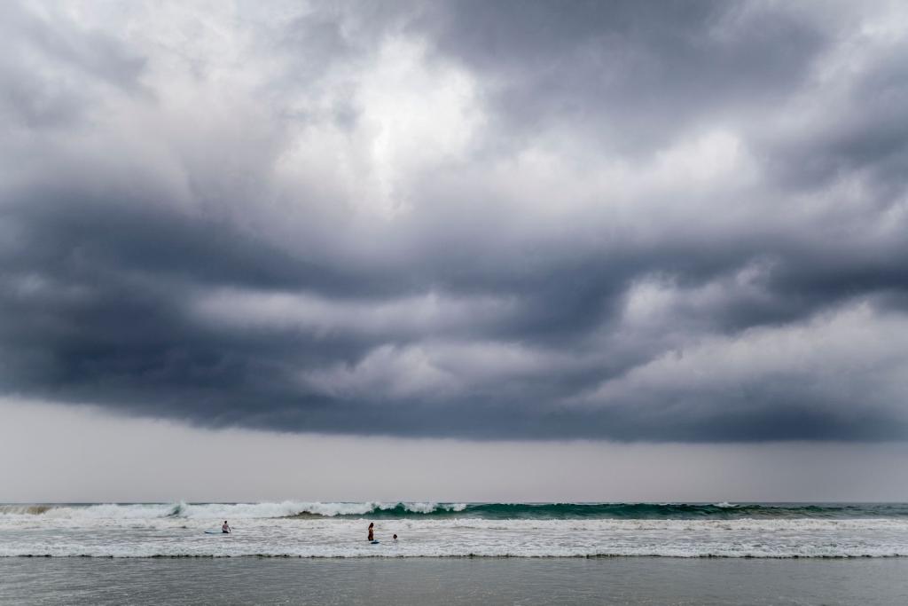
Hurricane Simon Mexico is the storm story everyone is watching tonight, because a monster Pacific hurricane is crawling along the coast near Puerto Vallarta without quite making landfall. That sounds like good news, but forecasters say it is not that simple. The danger from wind, surge and rain is still very real.
A storm that will not pick a lane
Hurricane Simon peaked as a Category four storm, with winds near one hundred fifty-five miles per hour, only just below the Category five line. By Sunday night it had weakened to a Category three, with sustained winds of one hundred twenty miles per hour, according to CNN, which cited the US National Hurricane Center.
Early models had Simon slamming ashore on Sunday. Instead its track shifted. The storm now creeps northwest at about five miles per hour, and models are split on whether it turns inland around midweek or stays entirely offshore.
Hurricane hunter aircraft found the cyclone moving slower than expected and only reaching about nine miles off the coast of Jalisco state, according to AFP. The hurricane center said the inner core was brushing against the high terrain of the Sierra Madre mountains.
Why no landfall does not mean no damage
Here is the catch. A slow, nearly stationary storm can dump rain on the same towns for hours. Boris Comi, a meteorologist with Jalisco's civil protection agency, told AFP that this lets the storm generate more rain over a longer period, which puts the population at greater risk.
Fabian Vazquez, who directs Mexico's meteorological service, told AFP the coast should expect very severe wind effects and waves of up to nine meters, about thirty feet. He also explained that a storm moving parallel to the coast can hold a slightly higher category than one that pushes inland.
Mexico's Civil Protection Agency warned that the wind and rain may suddenly subside, creating an apparent calm that does not mean the danger has passed. That is the classic eye trap, and officials want people to stay put until an official all-clear.
What it looks like on the ground
President Claudia Sheinbaum urged residents of Jalisco, Colima, Michoacan and Nayarit to remain in shelter, according to CNN. Nonessential activities were suspended, and precautionary evacuations kept going. Mexico's Navy deployed more than four thousand six hundred personnel with heavy machinery and emergency supplies.
Puerto Vallarta's international airport suspended operations and was expected to stay closed until Monday morning, and flights at Manzanillo were also halted. On the boardwalk, police told tourists the area was closed. Businesses boarded up, and some spray-painted jokes on the plywood, including a play on the children's game Simon Says.
In Manzanillo, the Navy helped pump water out of flooded homes. Resident Cecilia Palomar told Reuters the water started rising at dawn and that the whole house was flooded. Her line, that it had risen before but not like this, says a lot about how local people read this storm.
The El Nino factor
Simon is part of a busy Pacific hurricane season. AFP reports that a powerful El Nino warming pattern is weakening wind shear over the Pacific, which lets storms gain strength, while the same pattern has helped keep the Atlantic season relatively quiet.
For anyone planning a beach trip or following family in the region, the practical read is simple. Watch official updates from the National Hurricane Center and Mexican civil protection, since the forecast keeps changing. You can follow more of our climate coverage as the story develops.
Why does this matter beyond Mexico? The Hurricane Simon Mexico saga shows how forecast cones can mislead. A shift of a few miles decides whether a resort town sees a gentle drizzle or a wall of water, and emergency teams have to prepare for both outcomes at once. Shelters in Puerto Vallarta had already taken in dozens of people by Saturday, and the Navy used boats to bring about one hundred residents out of exposed coastal communities.
What to watch next
The key question is whether Simon turns toward the northeast and moves inland across west-central Mexico midweek, which forecasters say would cause rapid weakening. Until then, the coast stays under threat from destructive winds, storm surge and flooding rain.
For a storm that never officially arrived, Simon has already forced evacuations, closed an airport and flooded homes. That is the lesson of this one: the landfall line on the map is not the whole story, and the people living between the mountains and the ocean feel the storm long before and after it.
Comments 0
No comments yet. Be the first to share your thoughts!
Leave a comment
Share your thoughts. Your email will not be published.