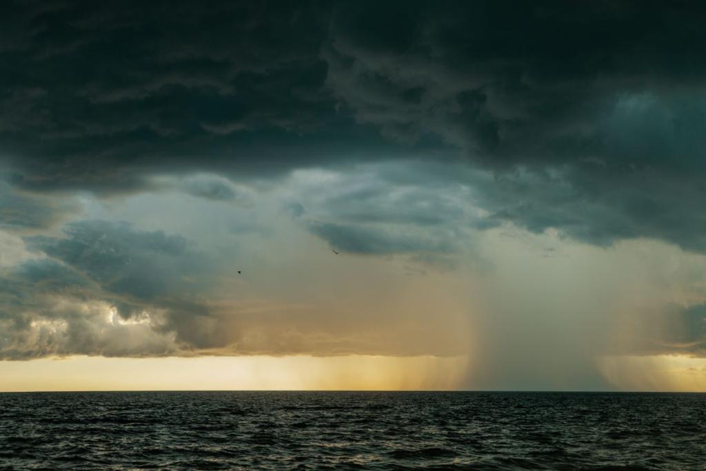
Hurricane Polo, one of the most powerful storms ever recorded in the eastern Pacific, is bearing down on Mexico's Baja California peninsula. Forecasters at the US National Hurricane Center said the Category 3 storm carried maximum sustained winds of 195 kilometres per hour on Sunday and was on course to reach the peninsula on Monday. Hurricane warnings now cover stretches of both coasts of Baja California Sur.
The storm is weaker than it was a few days ago, but it remains a major hurricane. Polo formed as a tropical depression on September 20, became a tropical storm the next day and reached Category 5 on September 22, with estimated winds approaching 285 kilometres per hour. According to NASA, it became the third-strongest hurricane on record in the eastern Pacific by maximum sustained wind speed, and the fastest on record to go from a tropical depression to Category 5.
Polo is the third Category 5 storm of the 2026 eastern Pacific season, after Genevieve and Lowell. With three such storms by September 22, the season tied the 1994 record set by Emilia, Gilma and John, Colorado State University hurricane researcher Philip Klotzbach noted.
A record El Niño behind the records
The ocean supplied the energy for Polo's burst. Sea surface temperatures along the storm's path reached 32 degrees Celsius in places, two to three degrees above normal for late September, with the warmth extending deep below the surface. Conditions were nearly ideal for strengthening: high moisture, unusually warm water, atmospheric instability and weak wind shear, Gary Partyka, an atmospheric scientist at NASA's Goddard Space Flight Center, said. The National Hurricane Center described the intensification as "truly remarkable."
The storm strengthened during an unusually strong El Niño, which suppresses the wind shear that normally tears storms apart and shifts tropical cyclone activity toward the eastern Pacific. Scientists caution against attributing any single storm to El Niño alone, and similar rapid intensification has occurred under other climate conditions. Even so, by September 24, accumulated cyclone energy across the eastern Pacific had reached nearly twice its normal level, a measurement that combines the strength and duration of every storm this season. Polo contributed an extraordinary share of that total.
The speed of the change is the practical problem. A storm that goes from tropical storm to Category 5 within about a day gives coastal communities almost no time to move people, stock shelters or shut down infrastructure before conditions become dangerous.
Baja California prepares for landfall
On Sunday morning, Polo's center sat about 480 kilometres southwest of Cabo San Lucas, moving north-northwest at 17 kilometres per hour, with a minimum central pressure of 952 hectopascals, according to the National Hurricane Center. Hurricane-force winds extended 75 kilometres from its center. The storm was expected to approach the western coast of Baja California Sur on Monday, cross the peninsula overnight and reach the mainland early on Tuesday.
Forecasters said rainfall of between 100 and 200 millimetres could fall across parts of Baja California Sur, with isolated totals near 250 millimetres. The rain could begin on Sunday night and continue into Tuesday, bringing what the hurricane center described as possible life-threatening flooding and mudslides, particularly in steep terrain. Large and destructive waves were expected near the coast, and swells generated by Polo were already producing dangerous surf and rip currents.
Authorities in Baja California Sur have extended the suspension of classes in all five municipalities through September 29 and suspended state and municipal government operations for Monday and Tuesday. All maritime activity has been halted. The state has designated 169 temporary shelters with room for more than thirty-three thousand people, assigned medical and nursing teams to the shelters, and deployed emergency machinery toward Comondú and Mulegé. Mexican Army engineers have moved toward Los Cabos and Comondú under Plan DN-III-E, the military's disaster response framework, according to the state government.
The Los Cabos tourism board said in a statement that "a major natural disaster may temporarily affect roads, electricity, potable water, communications, and other essential services," and urged residents to keep enough emergency supplies to remain self-sufficient for up to 15 days.
Forecasters expect Polo to weaken rapidly after crossing Baja California Sur and dissipate over northern Mexico by Wednesday. But moisture from Polo and from Hurricane Odalis is expected to push into the southwestern United States, where it could indirectly contribute to heavy rainfall and flash flooding late this weekend and early next week, the hurricane center said.
What comes next for the coast
The immediate question is how much strength Polo keeps when it reaches shore. Increasing wind shear and interaction with land should weaken the storm after its Monday landfall, and it is not expected to regain strength over the Gulf of California. Even so, the hurricane center noted that Hurricane Polo could be near hurricane strength when it reaches mainland Mexico, and uncertainty remains over how quickly it will move after crossing the peninsula.
The damage will likely be measured more in water than in wind. In a place where steep desert canyons channel sudden rain into flash floods, the forecast totals of up to 200 millimetres are the main threat. Residents in warning areas have been urged to finish preparations before tropical-storm-force winds arrive, after which working outside becomes dangerous.
The Watchers reported that 169 shelters are ready across Baja California Sur, while Earth.com and Qazinform have tracked the storm's record-setting intensification.
Comments 0
No comments yet. Be the first to share your thoughts!
Leave a comment
Share your thoughts. Your email will not be published.